
La Palma, Canary Islands • DRIVING GUIDE • 7 min
Driving in La Palma: Steep Roads and Volcanic Areas
A car rental driving guide to La Palma's winding roads, viewpoints, trails and access restrictions.
Road rules and access conditions may change. Check official local sources, road conditions and your rental terms before travel.
Airport and rental collection
Check collection details for La Palma Airport (SPC) and whether your supplier operates during your arrival window.
Elevation changes
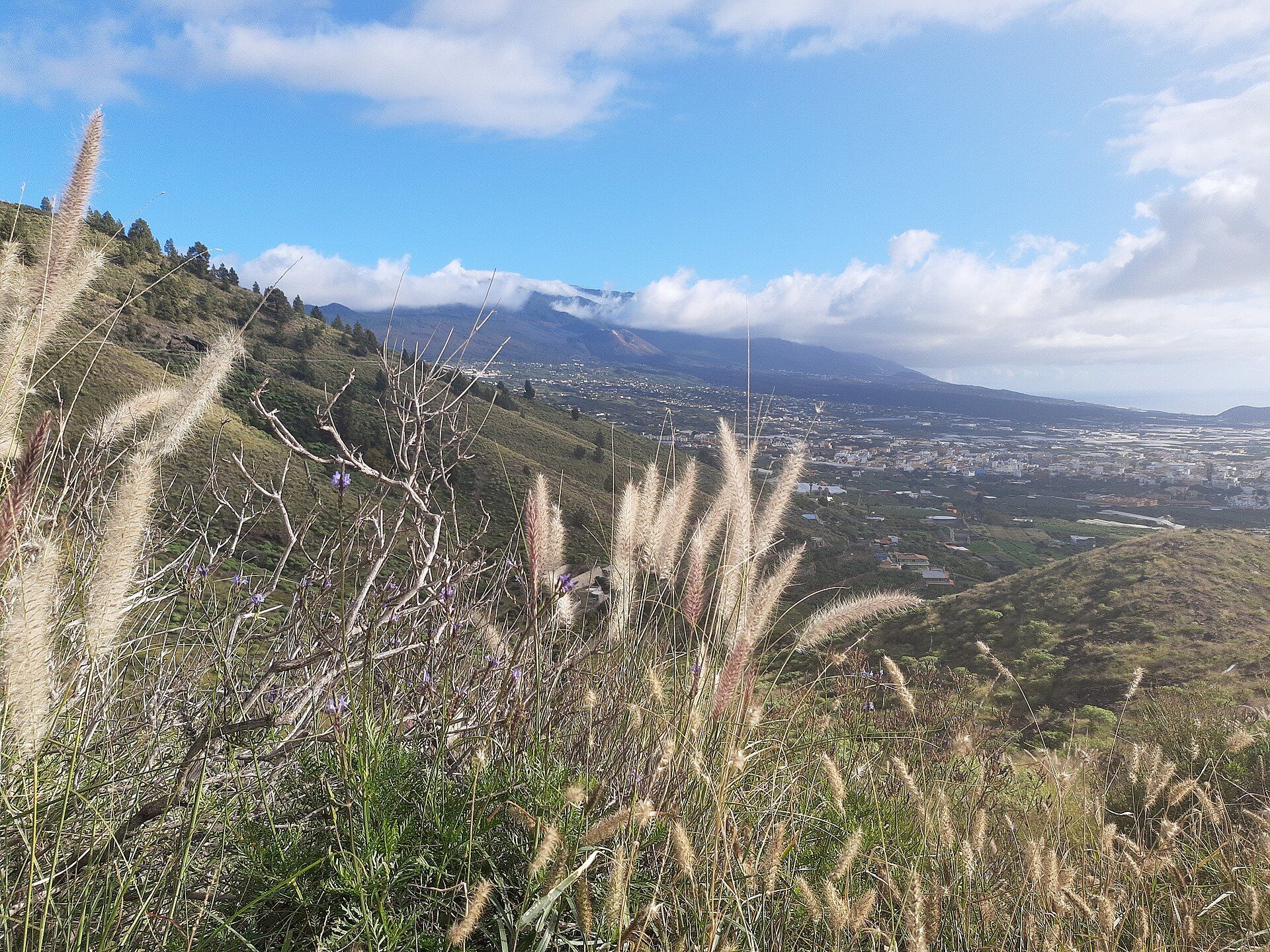
La Palma's routes can climb dramatically over short distances, which makes journey times longer than they appear on a map. Plan rest stops and avoid tight schedules.
Volcanic landscapes and restrictions
Follow official restrictions in volcanic or affected areas; a scenic-looking access road may be closed or reserved for local uses.
Viewpoint and trailhead parking
Use official parking places for viewpoints and trailheads, and confirm the route is accessible before travelling.
Explore the destination in photographs
Ready to find a rental car?
Choose your destination and dates to see genuine provider availability.
Search rental cars →